san joaquin Cloud Seeding program
backgroundobjectivesseeding the san joaquin basin |
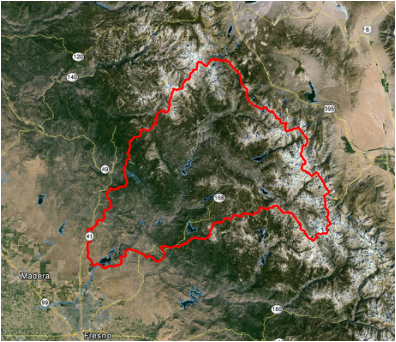
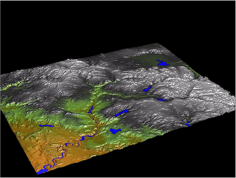
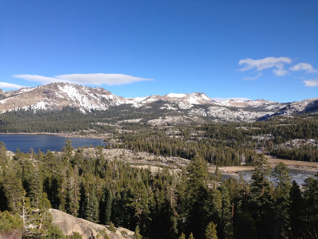
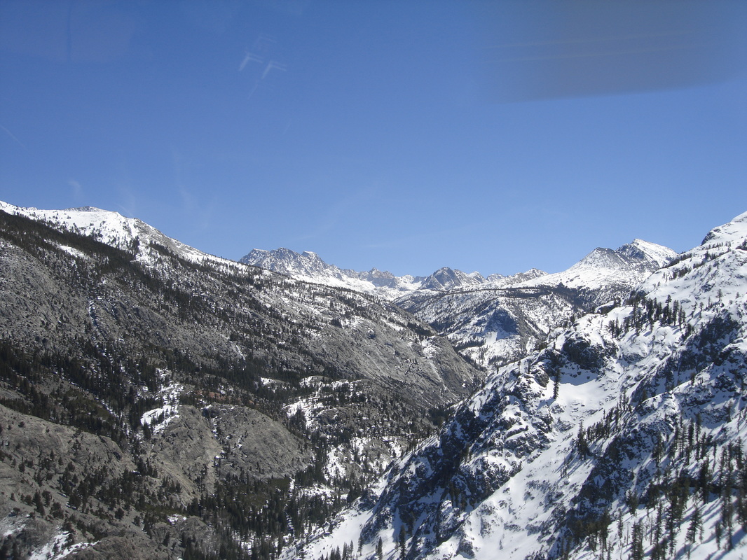
The Upper San Joaquin River watershed is located in the southern Sierra Nevada of California and encompasses approximately 1,450 square miles, extending roughly 45 miles in west-east and north-south directions. The elevation of the watershed ranges from 1,400 feet on the west side to over 13,700 feet on the eastern side of the primary target area along the crest of the Sierra Nevada. The Upper San Joaquin Basin is composed of predominately granite bedrock and characterized by deeply incised U-shaped canyons and glaciated valleys. The watershed encompasses portions of the Ansell Adams and John Muir wilderness areas and the northern extent of Kings Canyon National Park. The annual average precipitation is approximately 42 inches per year at Huntington Lake, which is located in the middle of the catchment.
The San Joaquin Cloud Seeding Project was arguably the longest continuously operating cloud seeding program in the world. Operational cloud seeding began during water year 1951 and continued every year through WY2015. RHS Consulting operated the San Joaquin program from WY2009 – WY2015, six seasons for the Southern California Edison Company (SCE) and the seventh season under support from the Friant Water Authority (FWA). The goal of the program has remained the same, snowpack augmentation, although the primary target became the North and Middle Forks and focus of the program became runoff into Millerton Lake. This compares with SCE's goal of targeting the Upper South Fork of the San Joaquin River to enhance hydroelectic generation. Seeding materials are released from aircraft and a ground-based generator network. SCE's objectives of the cloud seeding program included:
Important from a cloud seeding perspective are the major topographical cross section features of the basin oriented from southeast to the northwest and along the wind that flows across the barrier during storm events. On the southwestern side of the basin, two major ridge lines follow a parallel track from the southeast to northwest forcing the wind in the early stages of storms to flow along the barrier and south the orthogonal cross section rather than directly up and over the barrier. The terrain normal to the barrier rises steeply from the floor of the Central Valley to 4,500 feet in less than five miles. From this point, the cross section rises up and down as it crosses several ridges and eventually to Kaiser Ridge at 10,000 feet. Maximum precipitation amounts are observed in the watershed just upwind and over the top of Kaiser Ridge. The cross section profile then descends to the South Fork of the San Joaquin River producing a "rain shadow" between Kaiser Ridge and the Sierra crest. Precipitation amounts and condensate supply rates increase again as air ascends up the from the South Fork reaching altitudes up to 13,700 feet (Mt. Abbott) and then descends down the leeside of the barrier. This situation makes the Upper Basin respond to windward cloud seeding activities as a leeside target area downwind of the first ridgeline (Kaiser Ridge). This has important implications for the development of supercooled liquid water fields. This combination of Kaiser Ridge and the Sierra barrier form a double “camelback” barrier terrain profile that makes successful targeting of cloud seeding effects far more complex than standard single barrier profiles. Subtle changes in seeding altitude can make the difference between seeded precipitation falling on the windward side of Kaiser Ridge or falling much farther east in the upper reaches of the San Joaquin Basin.
|
RHS Consulting operationsevaulation |
Project yield increased significantly after RHS began operations in WY2009. Over the past four severe drought seasons, average streamflow increased by an average of 36,395 AF/yr in the Upper South Fork of the watershed. This represents an average seeding effect of 9.7% (σ=±2.5%). The upper and lower 90% confidence limits of this analysis ranged between 5.5% and 13.9%. Even more successful are results from the North and Middle forks, which showed an average increase of 23.3% (σ=±4.6%) during the same time period. Clearly the effectiveness of the seeding program in the North and Middle Forks was double that found in the South Fork.
From a water volume standpoint, the average yields in the North and Middle Forks are more than four to five times those obtained in the Upper South Fork. Ground-based seeding becomes important for producing large increases in precipitation in the Upper South Fork, while aircraft seeding produces the majority of the seeding effect and streamflow in the North and Middle Forks of the watershed. On a percentage increase basis, the seeding program produces larger increases in precipitation during drought years. The 24.3% increase in runoff in the Upper South Fork during WY2014 (52% of normal water year) clearly demonstrates that the program is more productive (on a percentage basis) during drought years when it is needed most. A common misunderstanding involving the percentage yield of cloud seeding programs is that they produce the same percent effect independent of amount of precipitation received during the water year. In fact, the yield from on a percentage basis tends to be inversely proportional to precipitation percent of normal. This relationship is, however, limited by budget and suspension criteria in well above normal years when additional water is not needed. From a volume viewpoint, the program will produce the greatest benefits in median to average precipitation years. The results are impressive and can be considered highly successful from a water management perspective. Improvements in program yields are attributed to aircraft seeding operations in pre-frontal clouds; the use of new more efficient seeding materials designed specifically for winter clouds; and new tools including explicit supercooled liquid water forecasts and radiometer observations for planning and directing seeding operations. The WY2015 program works well and provides the Big Creek project with a cost effective source of additional water to enhance its hydrogeneration capabilities. The program also provides a significant amount of additional clean water to downstream consumptive users and the Central Valley. Seeding redistributes the maximum snow accumulation zone east to the higher elevations of the target area. Additional benefits come from the delayed snowpack melt rate which retards the peak of hydrograph by up to a month or more from the higher elevations of the primary target area. Extending the tail of the hydrograph adds value to the San Joaquin project by allowing additional generation to occur during late summer and early fall. This allows time for low spring energy prices to rebound going into the summer season. The State of California Department of Water Resources (DWR) estimated the potential cost of seeded water from precipitation enhancement programs at $19-$22/acft (DWR, 2005, 2009, 2013). This shows that the water production cost of seeded water produced by the RHS Consulting operations was half of those estimated by DWR, even during drought years. This made the program an extremely cost effective source of clean water for all beneficiaries of the program. |
